Tilehurst to Cholsey
Tilehurst to Cholsey | |
| Upstream: Cholsey to Dorchester | Back to Main Page | Downstream: Henley-on-Thames to Tilehurst |
Introduction
This walk starts with some more urban walking through the residential streets of Tilehurst, returning to the Thames at Mapledurham Lock. The path then continues on the south bank of the river as far as Pangbourne where it then crosses the river into Whitchurch and climbs onto the edge of the Chilterns, briefly away from the Thames. The path returns to the edge of the Thames a mile or two later and continues next to the river to the end of this walk near Cholsey.
Getting to the Start
Tilehurst is the western edge of Reading. By road, exit the M4 motorway at junction 12, then join the A4 to Theale. Continue through Theale, then turn right onto the A340 to Pangbourne. At the junction with the A329 near Pangbourne, turn right onto the A329, this takes you into Tilehurst. There is a car park at Tilehurst Station, which is right by the Thames. If coming from the east this isn't a very direct route and if coming at a quiet time (for example a Sunday), it's probably quicker to drive through Reading. However at other times I'd advise avoiding Reading town centre as it's a large town with a busy and congested town centre that has excellent public transport. Also consider using the park and ride into the centre of Reading, this operates from the A329 at Winnerish Triangle in the east and the A33 to the south.
Public Transport is probably the best option for getting to Tilehurst most days since it's just a few minutes on the train from Reading, which has connections to most areas of the country. Tilehurst is on the line from London Paddington and Reading to Didcot and Oxford and has trains every 30 minutes from Reading, Didcot and Oxford Mondays to Saturdays and hourly trains on a Sunday. Tilehurst is one stop west of Reading and is only 5 mintues from the main station in Reading. Connections are available with trains from the Midlands and the North by changing at Oxford and with trains from Swindon, Bath, Bristol and South Wales by changing at Didcot Parkway. All trains to Tilehurst are operated by First Great Western Link.
The Walk
When I walked this part of the path there was a temporary bridge constructed from the platform at Tilehurst Station onto the Thames, due to a diversion. The path however normally continues behind the station, adjacent to the railway line. Here you pass the sign that marks the end of Reading and soon come to the sign for a pub on the river. Here you cannot go further next to the river and have to climb the steps to the pedestrian bridge over the railway line, for a stretch of walking through residential streets. This was the reason for the temporary bridge I found at Tilehurst Station, since this bridge was closed when I walked this part of the path and so I had to return to Tilehurst Station and walk adjacent to the main road.
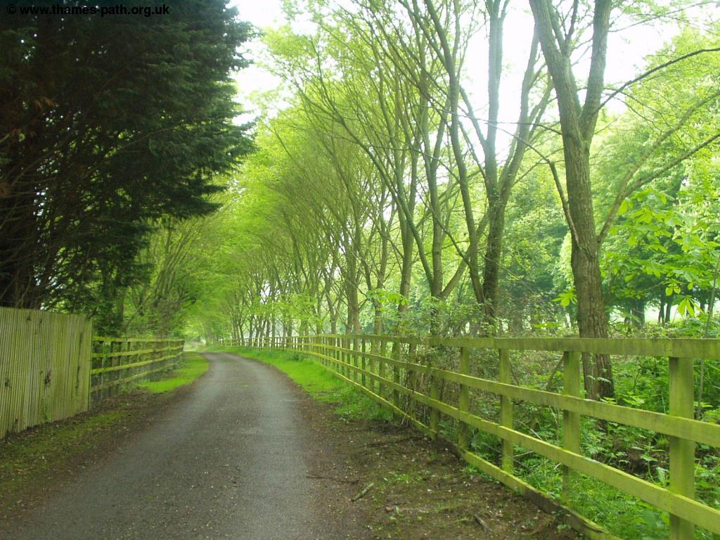
The bridge over the railway line takes you to the main A329 road, emerging by Roebuck Drive on the left. Shortly after this, follow the sign into Skerritt Way, which you follow to the end of the road, where you come to Hazel Road. Follow Hazel Road as it curves round, ignoring the two roads to the right and when you come to the end of the road turn right into New Hill. Follow this road to the end, where you see the Thames Path sign pointing down Mapledurham Drive, marked "No Entry Residents Only". This takes you back to the river at Mapledurham Lock.
 |
 |
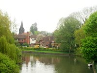
| Mapledurham Lock | Mapledurham Lock |
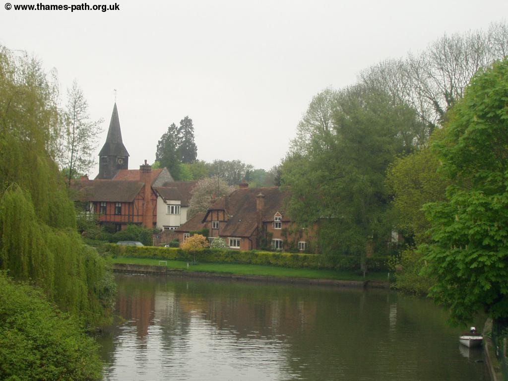
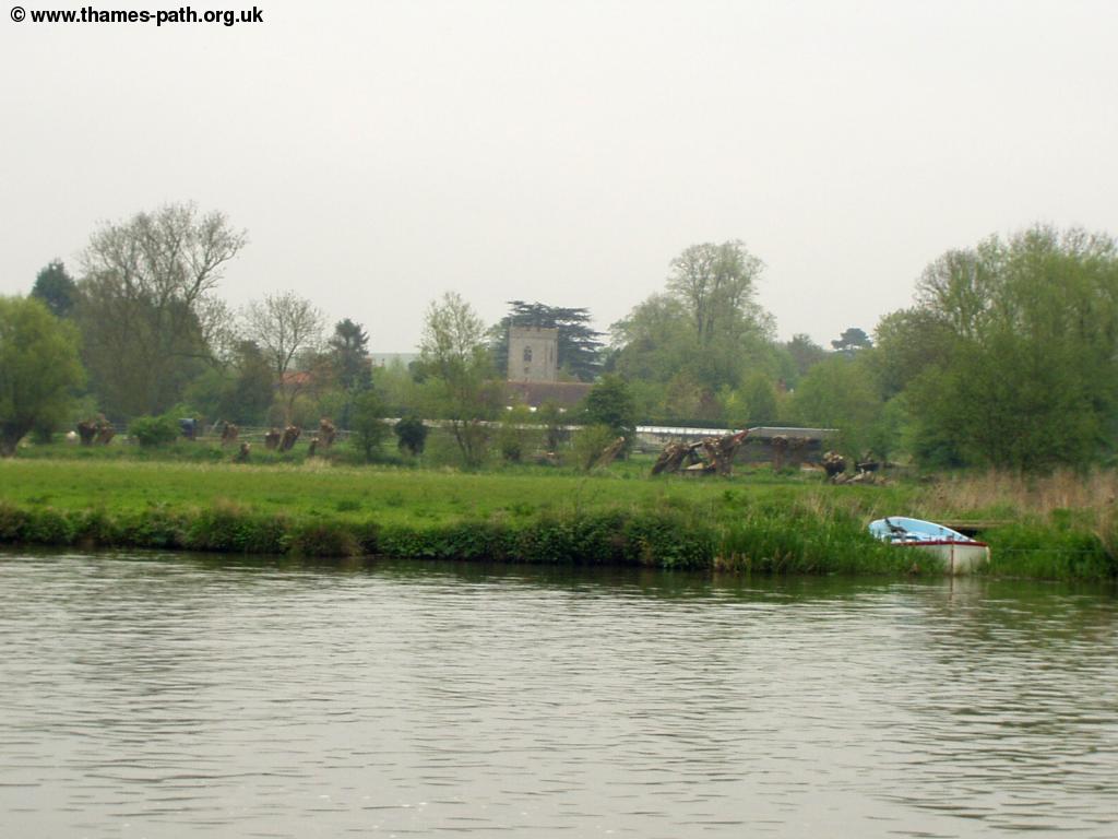
Beyond the lock the Thames returns to a more rural scene, with the hills of the Chilterns rising across the other side of the river. The Thames Path is now adjacent to the river once more, through meadows on the left. Soon you see a boat house across the river, and row of moored boats. The Thames Path continues on into the National Trust land known as Pangbourne Meadow. The path is lined with several seats here and soon you can see the attractive Whitchurch Bridge ahead. The Thames Path is now coming into the town of Pangbourne on the south side of the river, whilst on the north side of the river is Whitchurch. There is a station in Pangbourne, just beyond the bridge if you wish to return to Tilehurst and Reading. This bridge is unique so far on the Thames in that motorists have to pay a toll to cross it, collected from a toll booth on the north side of the river. The views of the village of Whitchurch from the bridge are excellent.
 |
 |
| Whitchurch Bridge ahead | The view of Whitchurch from the bridge |
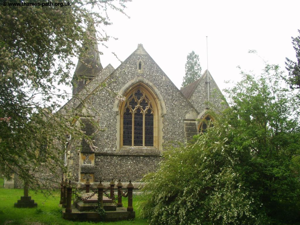
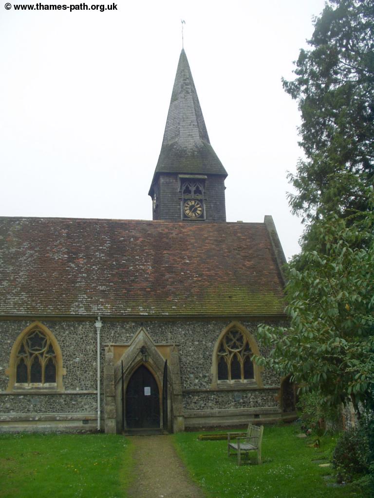
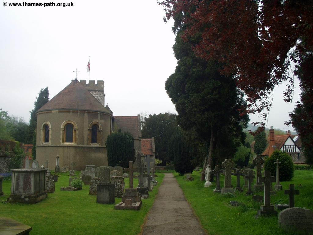
From Whitchurch the Thames Path now becomes quite different, as it climbs away from the river onto the edge of the Chilterns for a while. Once over the bridge go past the Toll House then almost immediately left to the pretty church, where there are also good views back to the bridge.
 |
 |
| Looking back to Whitchurch Bridge | Whitchurch Church |
 |
|
| Whitchurch Church |
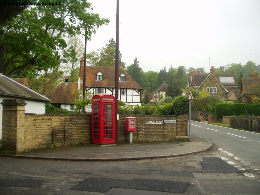
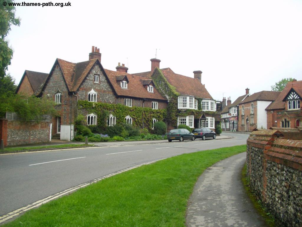
The church is quite large and to confirm the rural nature of the town you even had to switch the lights on inside the church (and of course turn them off again when you leave). The Thames Path continues through the churchyard emerging back onto the High Street. Continue up the hill, past The Greyhound Pub on the right and Manor Road on the left. The village here is especially attractive and has the feel of a typical rural English Village where at Manor Road there is a traditional red Telephone Box and post box and a sign pointing to the village hall.
 |
 |
| The Greyhound Pub, Whitchurch | Whitchurch |
 |
|
| Whitchurch |
As you reach the top of the High Street you see Hardwick Road on the right and the Thames Path now continues down the next lane on the left. This attractive tree-lined lane climbs up past a farm, then drops down to the bottom of a valley before climbing back up the other side - the first real hill on the Thames Path.
 |
 |
| The tree-lined lane | Steps up a hill |
The Thames path then continues gradually returning closer to the banks of the river, but reamining at a high level, passing through a wood. The hills on the edge of the Chilterns are to the right, whilst you get occasional glimpses of the Thames far below to the left through the trees.
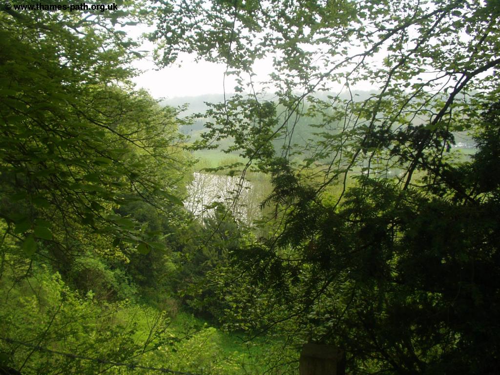 |
| The Thames far below |
The path returns to the level of the river by Gatehampton Farm, where you turn left back to the river side. Ahead is the large railway bridge, carrying the line over the Thames.
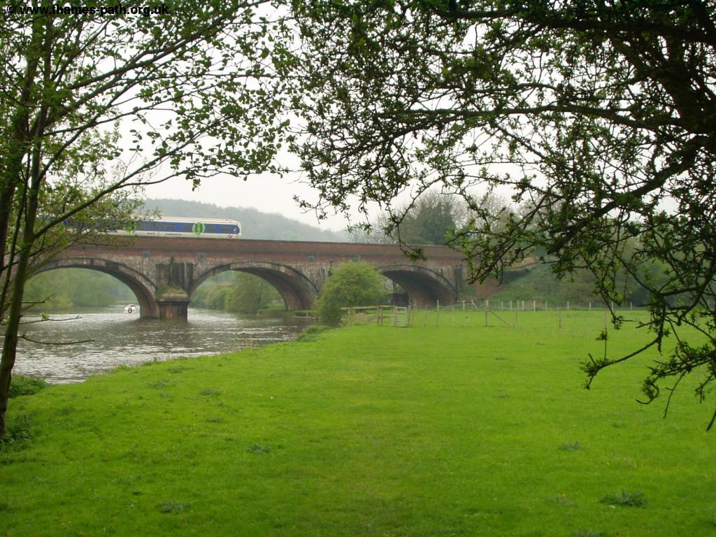 |
| The railway bridge |
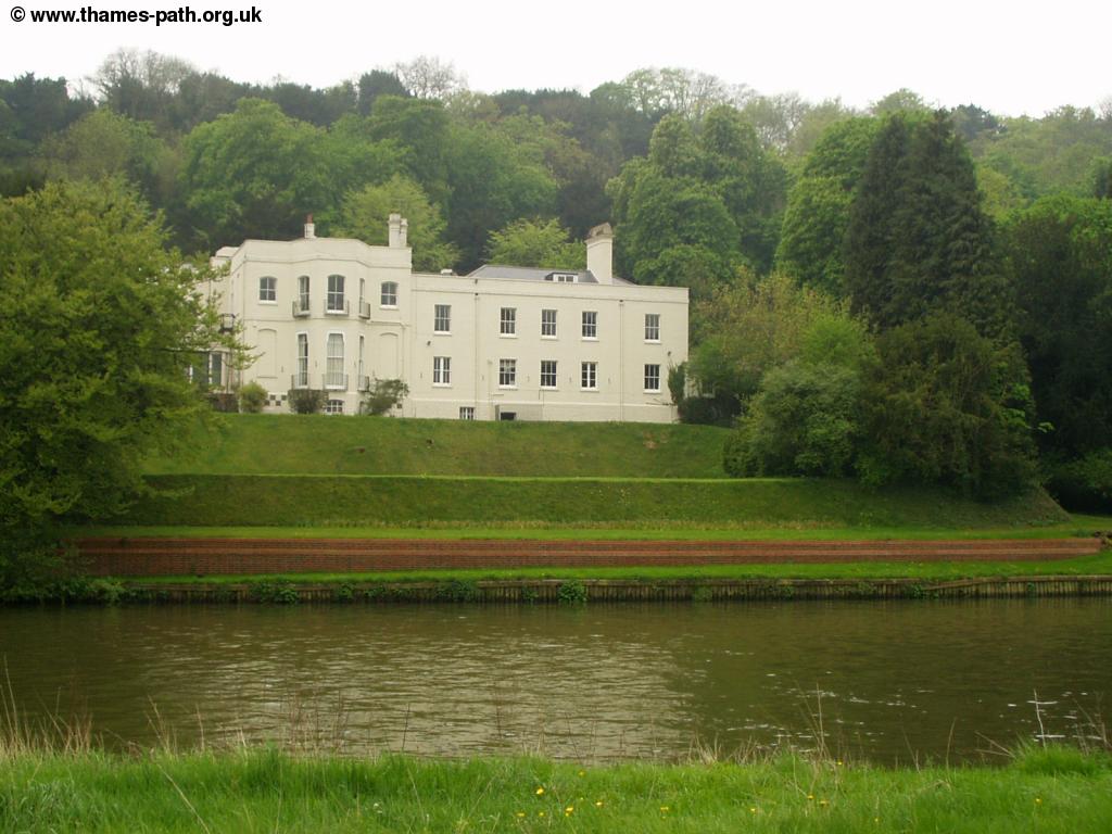
Pass under the railway bridge through the open meadows. Across the banks is a large white house, which is quite a landmark.
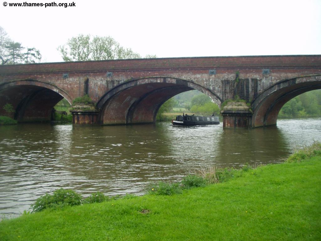 |
 |
| A boat passes under railway bridge | The white house beside the Thames |
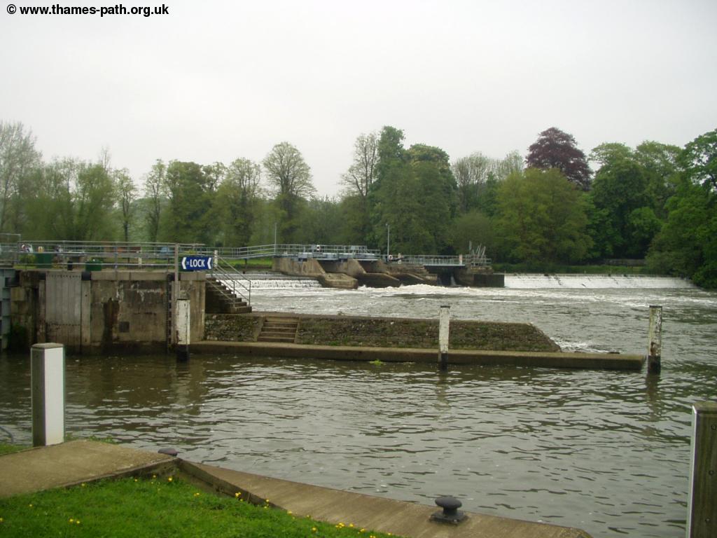
One of the large properties across the Thames even has a glass summer house over the Thames. Soon you pass over a small wooden bridge where you can see the buildings and bridge at Goring ahead. On the right is the attractive town of Goring, whilst on the other bank is the village of Streatley. The Thames path crosses the bridge, but Goring is an attractive town that is worth spending some time looking around. The water still rushes under the Mill here by the lock. If you wish to return to Reading or Tilehurst here, head for Goring and Streatley station in the town.
 |
 |
| Goring | Goring bridge |
 |
 |
| Thatched boat house at Goring | Goring Mill |
 |
 |
| Goring | Goring Church |
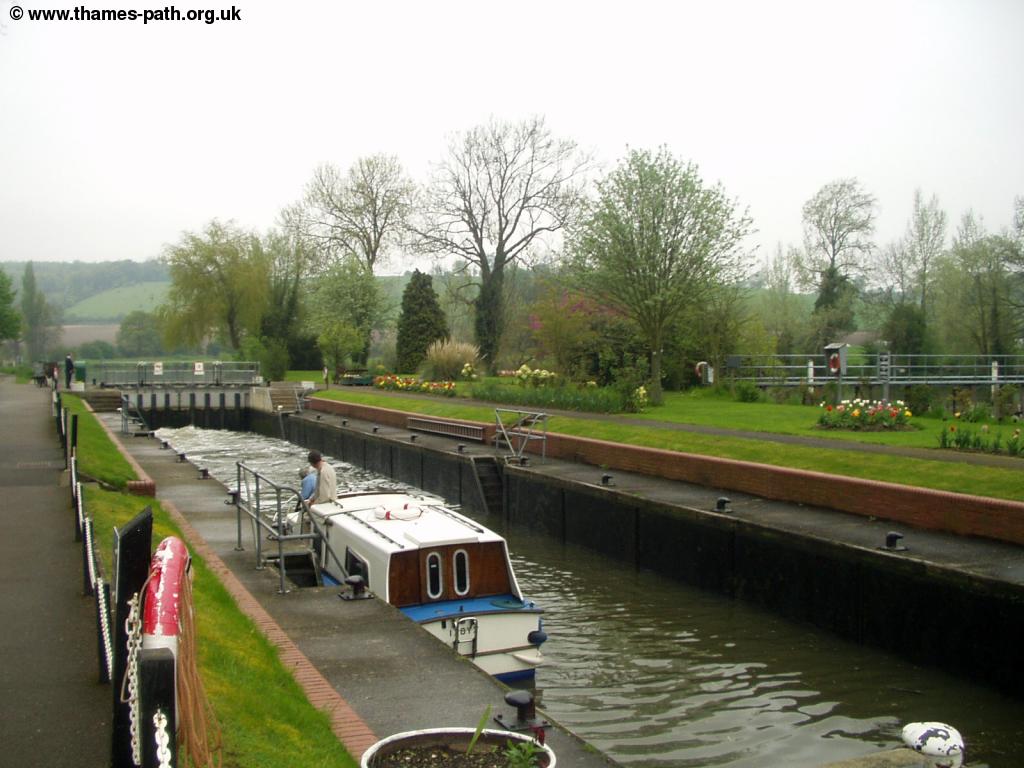
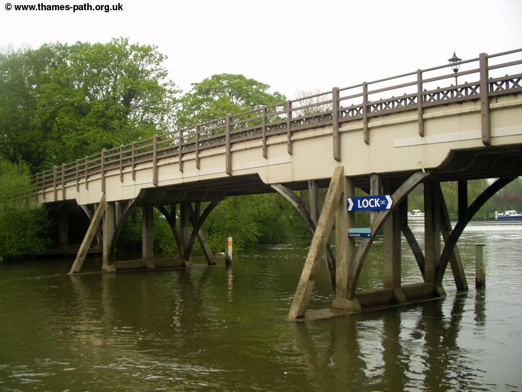
Cross the bridges at Goring Bridge, from where there are excellent views of Goring Lock below, the Thames ahead and Streatley on the other side of the river. The bridge is partly wooden and spans the Thames at quite a high level.
 |
 |
| Goring Lock from the bridge | Streatley from the bridge |
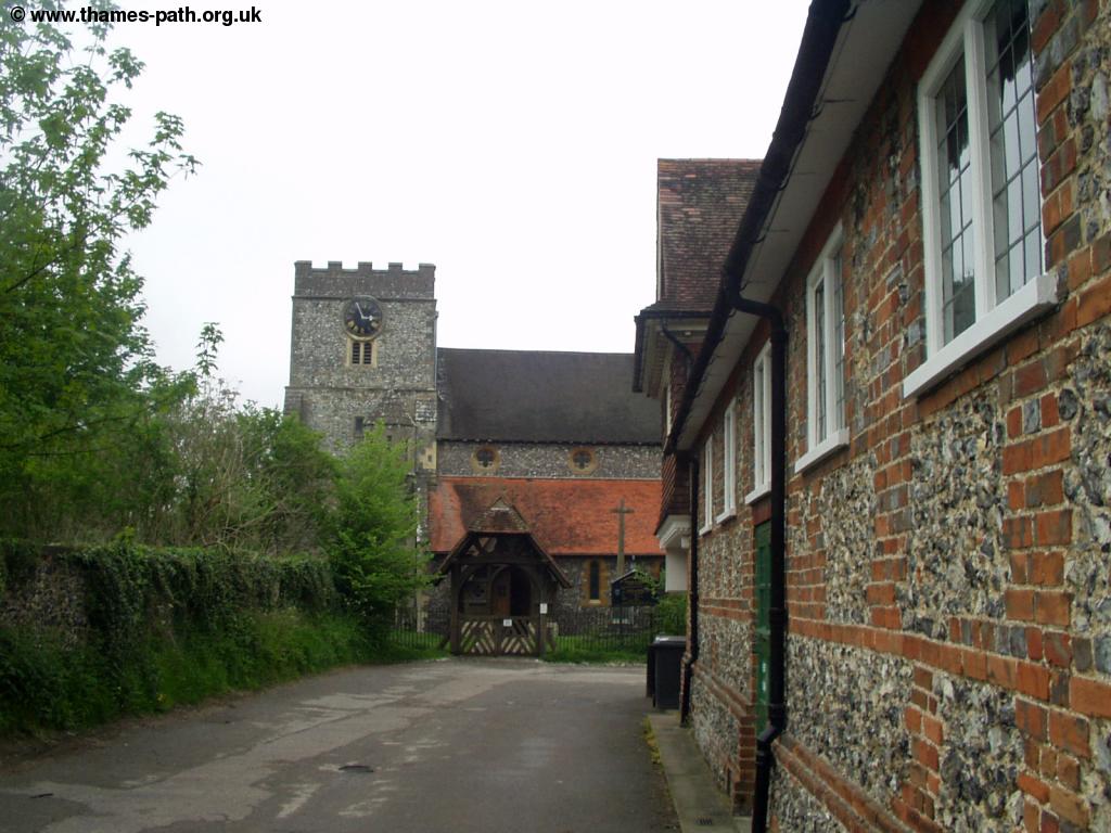
Once across the bridge into Streatley, turn right towards the church and then follow the lane past the church as it returns to the river side, where you get good views back to Goring Lock and of the Thames ahead.
 |
| Streatley Church |
Beyond Streatley you pass a few islands, that end at Cleeve Lock. Cleeve Lock is certainly in a rural setting, as there were sheep wandering on the banks of the Thames next to the lock!
 |
| Cleeve Lock |
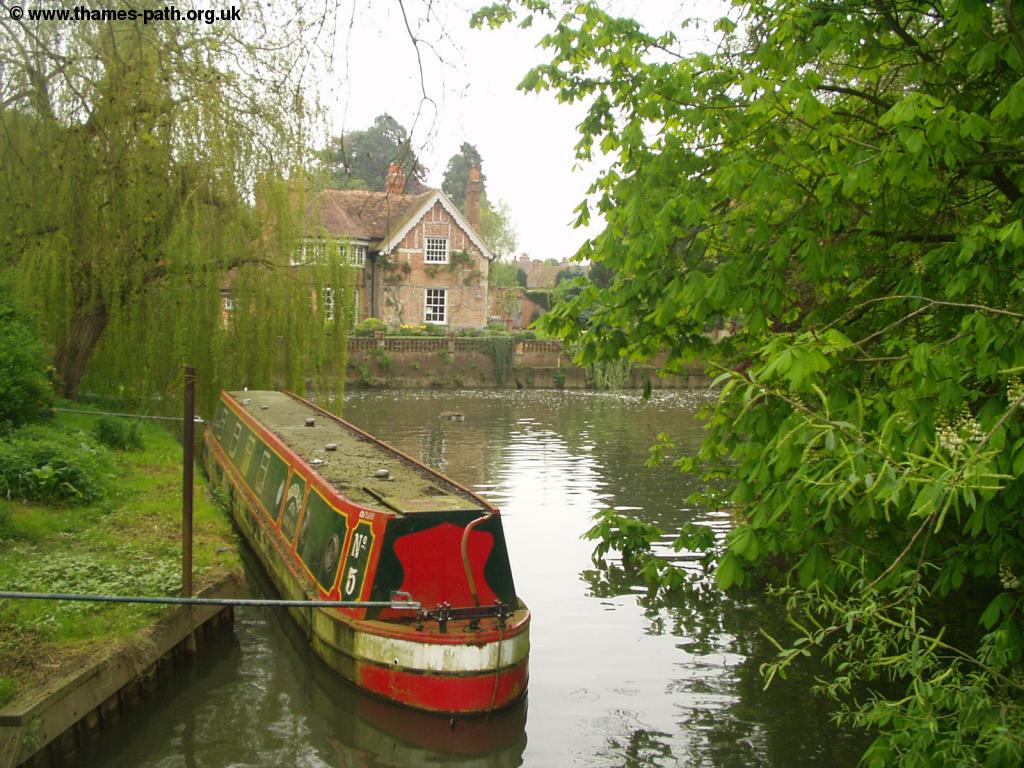
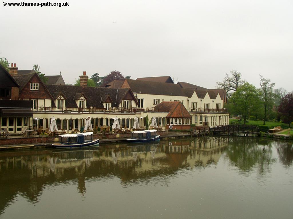
The Thames path continues through meadows beyond the lock for some distance, passing a pub across the river on the right. Soon the village of South Stoke (nowhere near the Trent!) is visible on the right, with the church being especially prominent. Soon after this point the path heads briefly away from the Thames again, up Ferry Lane into the village of Moulsford. At the river side is a pub and hotel, but sadly the pub was closed and looked to be undergoing refurbishment works.
 |
 |
| South Stoke | Moulsford |
The guide to the Thames Path shows the route on the map as following the road through Moulsford all the way to Cholsey, but mentions a river side path should now be open. Fortunately this path has now opened, so once you've passed through the village, turn right when signed, after passing Willow Court Lane on the left. Here you descend back to the Thames and towards another railway bridge, that is similar to the previous one.
 |
| The Railway bridge near Moulsford |
Pass under this railway bridge - unusual in that there is a gap between the two lines, and continue on the path through some fairly marshy land. Soon the path comes to a small muddy road (Papist Way) to the left. This is the road into Cholsey.
Getting Back
To get to the centre of Cholsey, where there is a station, follow the road from the Thames Path (Papist Way), as it becomes tarmacked. It passes the former Fairmile Hospital, that closed in April 2003. The site currently seems to be a mixture of closed hospital buildings and a sports club, but in April 2004, John Prescott announced this land was to be sold and developed into housing and indeed the first houses were being constructed when I walked this part of the Thames Path. This lane arrives at the A329 road, which you cross and continue down Papist Way, a residential street, into the centre of Cholsey. At the junction with station road, turn left where you'll find the station.
Cholsey station is on the line between Reading and Oxford, and has frequent trains to Tilehurst (also stopping at Goring and Streatley and Pangbourne on the way), Reading and on to London Paddington. The trains also go north to Didcot Parkway (for connections to Swindon, Bath, Bristol and on into Wales) and to Oxford (for connections to the Midlands, North and Scotland). They run every 30 minutes, Monday - Saturday and hourly on Sundays and are operated by First Great Western Link.
The Cholsey and Wallingford railway also operates steam trains from here to nearby Wallingford on some weekends each year, when the trains are running they run hourly to Wallingford.
Links
The following web sites provide information on the area.
Every effort is made to ensure the accuracy of information on this site, but liability will not be assumed in the event of any inaccuracies. Use of the information on this site is at your own risk. If you find any errors, please use the link below. The text and photographs on this web site are all Copyright © and may not be reproduced without prior permission